
Distributed Intelligence, Robotics, Drones and Autonomous Vehicles for Utilities
Robots, drones and autonomous vehicles can extend how electric utilities inspect infrastructure, assess field conditions and coordinate work across substations, transmission corridors and distributed energy sites. Their value depends on more than navigation. Each platform must interpret the operating environment, share reliable information, work within defined limits and provide evidence that an assigned task was completed.
Connecting autonomous platforms with utility intelligence.
UtilityGrid’s research focus examines how distributed intelligence can connect aerial and ground-based platforms with utility asset information, edge computing and human-supervised operating workflows.
The emphasis is on practical utility tasks such as substation inspection, overhead line and right-of-way surveys, solar-site monitoring and controlled movement of tools or materials.
These are research directions for evaluation, not claims that UtilityGrid currently offers or has deployed each capability.
Why distributed robotics matters in utility operations
Electric utilities maintain assets across large geographic areas, complex operating environments and different infrastructure types. Coordinated robotic systems may help connect observations, asset information and follow-up work.
Distributed infrastructure and inspection needs
Substations contain dense arrangements of transformers, breakers, disconnect switches, busbars and insulators. Transmission and distribution networks extend across varied terrain, vegetation, weather and access conditions.
Solar and other generation sites add large outdoor footprints and repetitive inspection requirements. Manual patrols and isolated robotic missions can leave gaps between observations, asset records and follow-up work.
Coordinated platform roles
A coordinated system could assign an aerial drone to capture elevated or corridor-level imagery, use a ground robot for repeatable close-range observations inside an approved substation area, and route findings to an engineer or asset management workflow.
Resilient edge processing and distributed intelligence
Utility field operations may encounter intermittent connectivity, constrained backhaul, radio interference, weather-related outages or temporary loss of a cloud connection.
Processing across multiple levels
Research can examine how perception, event filtering, route decisions and task-state updates are allocated across onboard computers, site gateways, local servers and remote services.
Time-sensitive functions may need to remain on the platform, while larger image analysis or fleet planning tasks may be handled at a site or central service when connectivity permits.
Candidate methods
- Edge inference
- Event-driven messaging
- Model compression
- Local task queues
- Explicit synchronization rules
Drone perception, localization and inspection mission planning
Aerial platforms may support visual and thermal surveys of transmission structures, distribution assets, substation equipment and utility-scale solar installations.
Asset-relative localization
Research topics include asset-relative localization, camera and sensor selection, obstacle awareness and repeatable inspection viewpoints.
Mission planning
Planning must account for site geometry, weather, visibility, battery reserve, communications, access permissions and applicable aviation and utility safety requirements.
Observation association
Each observation should be associated with the correct asset and inspection record, with attention to image suitability, localization and observation quality.
Proposed demonstration
A proposed demonstration could compare a fixed waypoint route with an adaptive inspection policy in a simulated or otherwise controlled utility environment.
The scenario should include changed lighting, partial occlusion, a blocked observation point, degraded positioning and a communications interruption.
A controlled field demonstration should proceed only where an appropriate platform, qualified personnel, permissions and site controls are available.
Evaluation measures
- Asset coverage
- Image suitability
- Repeatability of viewpoints
- Localization error
- Mission duration and energy reserve
- Missed inspection targets
- Correct association of images with asset identifiers
Detecting a component or completing a route does not establish that a defect was correctly identified.
Autonomous ground robots for substation and facility inspection
Mobile ground robots may be evaluated for repeatable patrols within controlled utility sites and approved inspection areas.
Candidate inspection tasks
- Recording visible equipment condition
- Collecting thermal observations from approved viewpoints
- Reading accessible indicators
- Documenting changes for maintenance review
A platform may combine cameras, thermal sensors, depth sensing, inertial measurements and wheel or visual odometry, subject to the environmental and electromagnetic conditions of the site.
Navigation and localization challenges
Research should address localization around metallic structures, uneven surfaces, ramps, cable trenches, restricted zones and changing site layouts.
Coordination across aerial and ground platforms
A mixed fleet could combine wide-area aerial surveys with close-range ground inspection and human-directed follow-up.
Fleet coordination
Research can examine task assignment, route and work-zone reservations, charging or battery availability, shared maps, inspection handovers and recovery when a platform becomes unavailable.
Proposed simulation
A proposed simulation could coordinate a drone survey, a ground-robot inspection and a utility crew’s review task.
Degraded scenarios
The scenario should include a delayed observation, a failed platform and two agents requesting the same inspection resource.
Evaluation measures
- Task completion and duplicated assignments
- Missed handovers
- Resource conflicts and deadlocks
- Communications overhead
- Operator interventions and recovery time
Human-robot collaboration and operational oversight
Utility personnel remain responsible for work planning, site access, switching and clearance procedures, maintenance decisions and operational authority.
Task handoffs
Research should examine clear task handoffs, operator awareness and understandable status information throughout a workflow.
Interruption and escalation
Platforms should provide reliable interruption and escalation paths when an unexpected condition requires human review.
Independent authority
A robot’s perception or planning output should not be treated as authorization to enter a restricted area or interact with electrical equipment.
Autonomous utility vehicles and controlled-site mobility
Autonomous or remotely supervised ground vehicles may be relevant to defined tasks in controlled utility yards, generation sites or other restricted operating areas.
Research questions
- Localization and traversability
- Obstacle detection and route planning
- Load effects on vehicle movement
- Safe interaction with workers
- Interaction with manually operated vehicles
Public-road autonomous driving is outside the proposed scope of this page.
Early evaluation conditions
Early evaluation should use simulation, a scaled platform or a controlled test area before any operational trial.
- Changing loads
- Reduced visibility
- Blocked routes
- Degraded localization
- Requests for human assistance
Measures may include localization and tracking error, route completion, obstacle-detection performance, stopping margin, constraint violations, interventions and appropriate requests for human assistance.
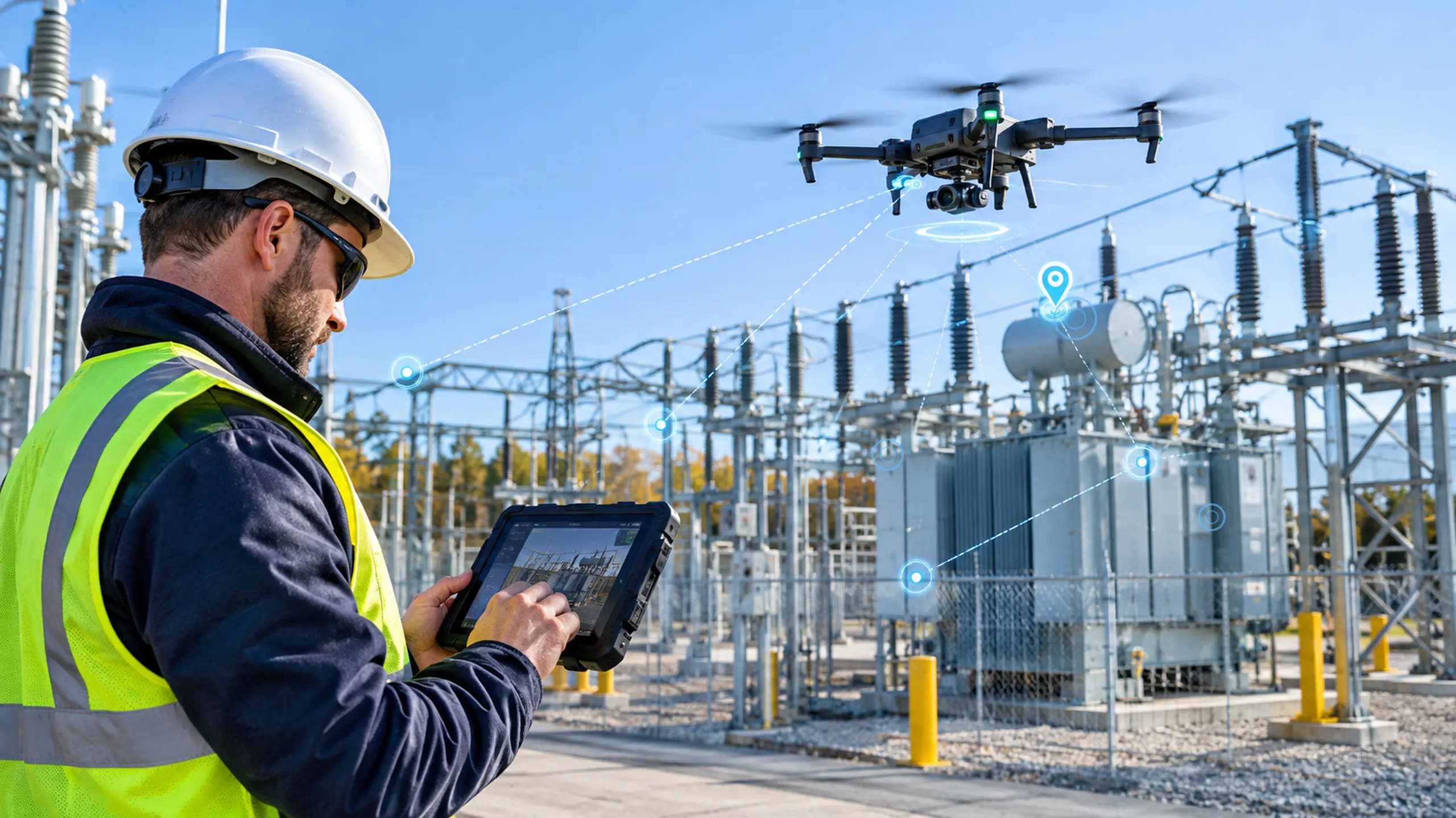
Substation Drone Inspection and Utility Field Oversight
A utility field operator supervises a camera-equipped drone during an outdoor substation survey. The scene represents aerial inspection of transformers, insulators and other high-voltage assets.
The operator retains oversight of the mission and its observations.
Alt text: Utility operator monitors a drone inspecting transformers and high-voltage equipment in an electrical substation.Proposed demonstration and evaluation approach
A practical starting point is one platform and one utility task, selected with an operations or asset-management team.
Select a bounded workflow
A drone-based substation or line inspection, or a ground-robot substation patrol, offers a bounded workflow that can be modeled before a controlled demonstration is considered.
The platform, inspection objective, operating boundary, sensor payload, users and responsible operator should be defined before evaluation begins.
Define the asset class, inspection objective, operating boundary, platform, sensor payload, users and responsible operator.
Document the baseline workflow, including inspection points, manual review, records, access constraints and current exception handling.
Specify required inputs such as asset identifiers, location references, imagery, thermal observations, timestamps, platform health and communications status.
Compare a simple fixed route or scheduling baseline with an adaptive policy under matched nominal and degraded scenarios.
Keep simulated, bench-tested and field-observed evidence separate. Do not report synthetic outcomes as field performance.
Record how the platform pauses, requests human review, rejects stale tasks and recovers after a communications or localization failure.
Research questions and success criteria
The research program should establish whether a selected platform and workflow can perform a defined task consistently under realistic utility conditions.
Limitations, safety and deployment considerations
Robotics research in electric utility environments has constraints that do not appear in ordinary warehouse or factory settings.
Operating environment constraints
High-voltage clearances, electromagnetic conditions, metallic structures, weather exposure, terrain, vegetation, access controls, communications coverage and site-specific procedures can affect platform suitability.
A laboratory or simulation result does not establish that a system is safe, certified or suitable for an energized facility.
Safety and authorization boundaries
Autonomous platforms should operate only within a reviewed task envelope and approved site procedures.
AI-generated route or inspection recommendations do not replace qualified utility personnel, aviation requirements, electrical safety rules or independent protective systems.
Any physical action beyond data capture and inspection requires a separate engineering review, authorization model and verification plan.
Solar Asset Aerial Survey and Autonomous Inspection
A field operator supervises an aerial survey across a utility-scale solar installation. The image illustrates how a drone may capture repeatable visual observations of distributed energy assets.
Mission planning, image quality and asset association remain subject to review.
Alt text: Utility operator supervises a drone surveying solar panels beside a high-voltage transmission tower.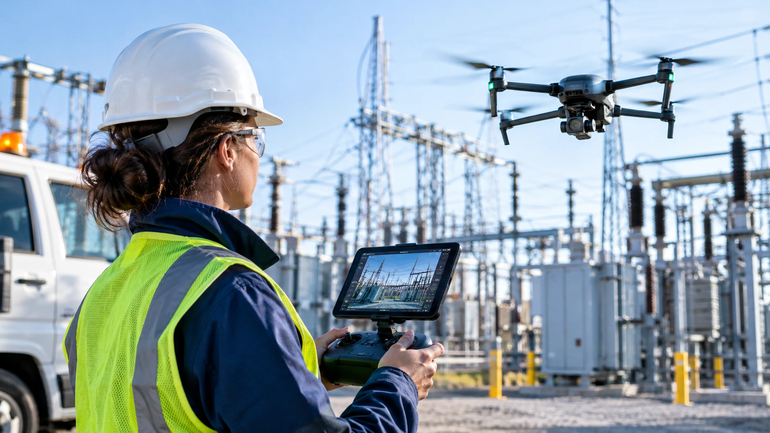
Research status and collaboration
The broader Physical AI research initiative provides a shared research context for work on identification, sensing, decisions and physical action.
Research initiative context
The broader Physical AI research initiative is described by Aperture Venture Studio as a shared effort involving Aperture Venture Studio, GAO RFID Inc. and GAO Tek Inc.
The initiative provides a common research context for work on identification, sensing, decisions and physical action.
Its existence does not establish a separate robotics team, a completed demonstration or a deployed product at UtilityGrid.
Publication and evidence requirements
The UtilityGrid-specific topics on this page should be published as proposed research directions unless a technical owner supplies current evidence and approval.
A research review should identify the utility workflow, proposed platform, data and integration requirements, baseline, candidate method, evaluation measures, evidence type, implementation status, limitations, technical owner and reviewer.
Any public result should state whether it is an illustrative scenario, an executed simulation using synthetic data, a controlled hardware test, a customer pilot or an operational customer result.
Related research and technical resources
Explore related UtilityGrid research and technology resources covering Physical AI, decision systems, physical action and system integration.
Discuss a utility robotics or inspection workflow with UtilityGrid
Identify a suitable asset class, operating boundary, platform, data requirements and evaluation plan with UtilityGrid.
Discuss a Research Workflow